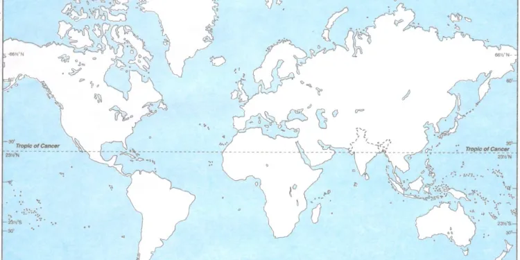
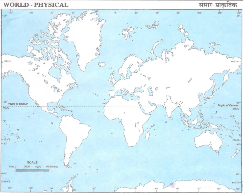
Download Physical World Map(Blank) for students in schools. Students require a blank physical world map for their practice, and often parents are asked to make sudden purchases of these maps during odd hours. To address this issue, we offer an unmarked physical map of the world that enables students to practice effectively for their exams. Moreover, you can also download a PDF version of the world’s physical map.
Join our Telegram Channel, there you will get various e-books for CBSE 2024 Boards exams for Class 9th, 10th, 11th, and 12th.

Physical Map of the World
A world map typically depicts the entire surface of the Earth, showing the various continents, oceans, and other geographical features. The map is usually oriented with the North Pole at the top and the South Pole at the bottom. The most common projection used for world maps is the Mercator projection, which accurately represents the shape and direction of land masses but distorts their size at the poles.
The seven continents are North America, South America, Europe, Asia, Africa, Australia, and Antarctica. The five major oceans are the Atlantic, Pacific, Indian, Southern (Antarctic), and Arctic oceans.
Other features that may be included on a world map are major cities, rivers, mountain ranges, deserts, and political borders between countries. Different maps may also focus on specific themes, such as climate, population density, or natural resources.
Use the Download PDF button given below the map to download the map on your computer or take a printout.
If you would like a more detailed outline world map, try our next one! It also includes the location of the major countries of the world and their boundaries.

The Physical Map of World for Students PDF Free Download link is given below.
We hope this helped you in your examination preparation or homework.
All the best!


